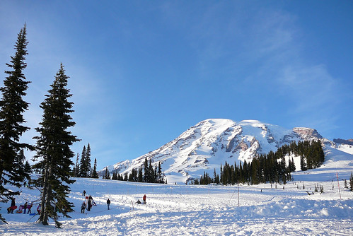
 We had the good fortune to spend the day with the waymarker S5280ft (Smile) on Sunday and decided to drag the poor jet-lagged soul up to Mt. Rainier with us. It was a full day and by the time we finished with dinner it was about 12:30 a.m., Michigan time. Hopefully we didn't wear him out too much, but it would have been criminal to pass up the chance of showing off a wintery Mt. Rainier on a clear day (few and far between in Washington state.)
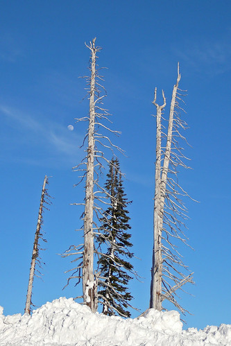
I grew up in Washington and had never once been up to the Paradise area of Mt. Rainier National Park during the winter. The roads were clear and sanded, but at the top the snow towered an amazing 10 plus feet on either side and it was like driving through a tunnel. Only the top of the great googie style Jackson Visitor Center stuck out of the snow and a 12-15 foot deep channel was carved out so visitors could get inside.
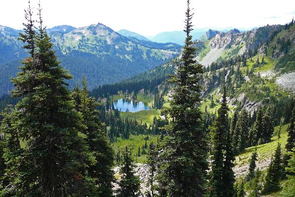
The mountains are my favorite part about Washington. As great as Seattle and Tacoma are, I'd rather hit the hills any day, so anyone coming to visit us be forwarned. In fact, you might want to have a little discussion with S5280ft before you let us know you'll be in town. He might have a few words of advice for you. :)
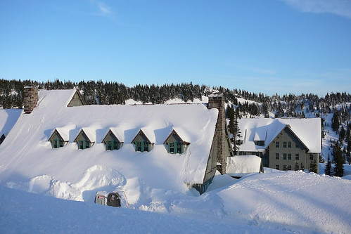
Above is a photo of the historic Paradise Inn. Currently it's being restored - well, it was being restored last summer and restoration will continue on the far side of the inn once the snow melts off in the early summer this year. We also stopped at the Longmire Administration area National Historic District so S5280ft could waymark a few Washington State Historic Markers, but alas, they were all under about 10 feet of snow. We did find a couple at lower elevations, thank goodness.
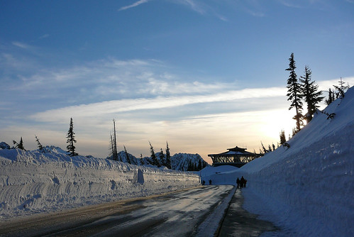
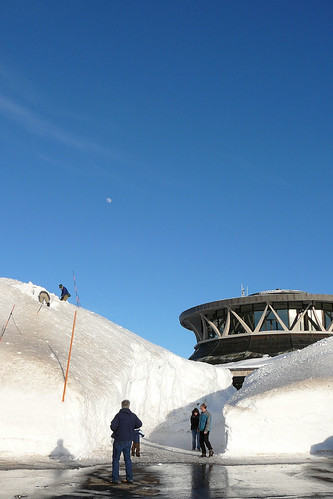
The above photo shows Paradise's Jackson Visitor Center, sunk in the snow with the sun setting behind it. I love this shot, particularly because it may be my last time to see the building. It is slated for demolition this summer when the new visitor center that was built last summer opens. It just can't handle the snow loads that Rainier gets at this elevation and the energy spent to keep the snow melted off of the slightly slanted roof just doesn't make sense. If you want to see a few more photos of the building check out waymark WM1M0N.
Thanks so much to S5280ft for taking time out of his busy schedule to ride up to the mountain with us. You have to admit, it is a pretty incredible place for a "Sticker Seeker" waymark visit photo. ;)